Air pollution strains Indonesia-Singapore relations
 Liam Dutton
Weather Presenter
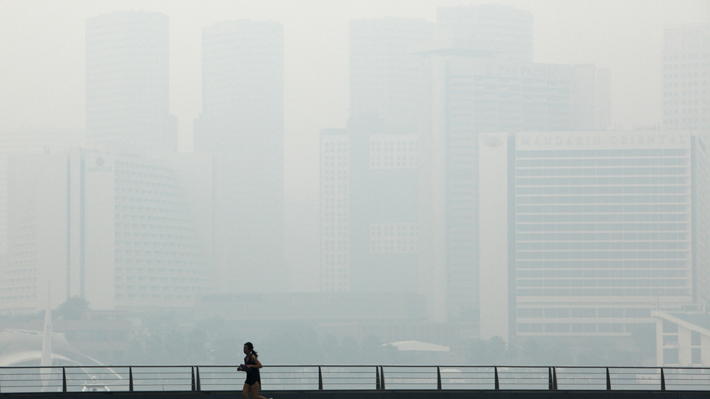
Pollution in Singapore has reached hazardous levels due to smoke from illegal fires in neighbouring Indonesia drifting across the area.

A thick haze dominates the normally pristine skyline, with shiny skyscrapers turned into silhouettes in the murky air.
Illegal burning of forests and other land on Indonesia’s island of Sumatra is a chronic problem each year during the June to September dry season. The fires are started in order to clear the land and make space for palm oil plantations.
Singapore, which usually enjoys clear skies, saw its air quality deteriorate rapidly on Monday.
The pollution standards index soared to a record of 371 on Thursday afternoon, exceeding the peak of 226 that was reached in 1997. This puts pollution in between the “very unhealthy” and “hazardous” levels.
Thick haze and poor air quality has had a significant impact on business, travel and tourism in the region.
Air traffic controllers in Singapore gave more time for aircraft between taking off and landing at Changi Airport, a major aviation hub, because of poor visibility.
Residents wore surgical masks or covered their faces with hankerchiefs when they walked outside, with some tourists cancelling their plans altogether.
An Australian couple on holiday said they cancelled a visit to the zoo and would probably stay indoors. The husband of the couple said: “I’m never coming back to Singapore at this time of the year again.”
Prime Minister Lee Hsien Loong said that haze from fires in Indonesia blanketing Singapore could persist for weeks or longer.
Singapore, a major financial centre, sent officials to an emergency haze meeting in the Indonesian capital, Jakarta.
Environment and Water Resources Minister Vivian Balakrishnan said on his Facebook page: “We will insist on definitive action. No country or corporation has the right to pollute the air at the expense of Singaporeans’ health and well-being.”
To help identify the culprits, Singapore has provided satellite information to Indonesia. It will also publish high-resolution photographs of the hotspots with the geographical coordinates to help interest groups such as Greenpeace pinpoint the sites.