Why you shouldn’t believe a UK snow forecast more than three days ahead
The past week has seen Arctic air and snow affect the UK, and with another cold blast later this week, there is much excitement about the prospect of snow.
Twitter has been awash with graphics from various weather computer models showing large swathes of the UK covered in snow in a week’s time.
However, the bottom line is that you should never believe a detailed UK snow forecast more than three days ahead.

The reason? Predicting snow in the UK is difficult and weather computer models rarely get it right more than a few days ahead. In some cases, they still get it wrong the day before it happens!
If you ask any weather forecaster who works in the UK, they will tell you that it can be very challenging to forecast snow here. The conditions are often marginal, which means that, sometimes, predictions can go wrong.
I thought I’d take a little time to journey through and explain the variety of factors than can determine whether or not snow falls, which will hopefully show how complicated it can be.
Temperature of the air
Temperature is probably one of the most crucial factors when determining whether or not snow is likely to fall. As a general rule of thumb, snow in the UK tends to fall when the temperature is 2C or less.
It may sound odd that snow can fall when the temperature is above freezing, but you have to remember that the temperature of the air even a few tens of metres above the surface is colder than at ground level.
As a result of this, snowflakes can easily remain intact down to the surface, although they do start to melt. This is why snow that falls with a temperature above freezing tends to be fluffy and wet, as partially melted snowflakes stick together.

Snow that falls with a temperature of 0C or below doesn’t experience any melting. Therefore, it is drier and more powdery – like the snow that is great for skiing.
When the temperature is in the range of 2-4C, sleet or rain is likely. However, if rain falls for long enough, the temperature of the air will start to fall.
This is because water from rain drops will start to evaporate and cool the air – just like the process of evaporating sweat on your skin cools you down in summer.
If this evaporative cooling continues for long enough, the rain can eventually turn to snow.
So as you can see, the temperature is crucial as to what falls from the sky, with even half a degree making a huge difference.
Altitude
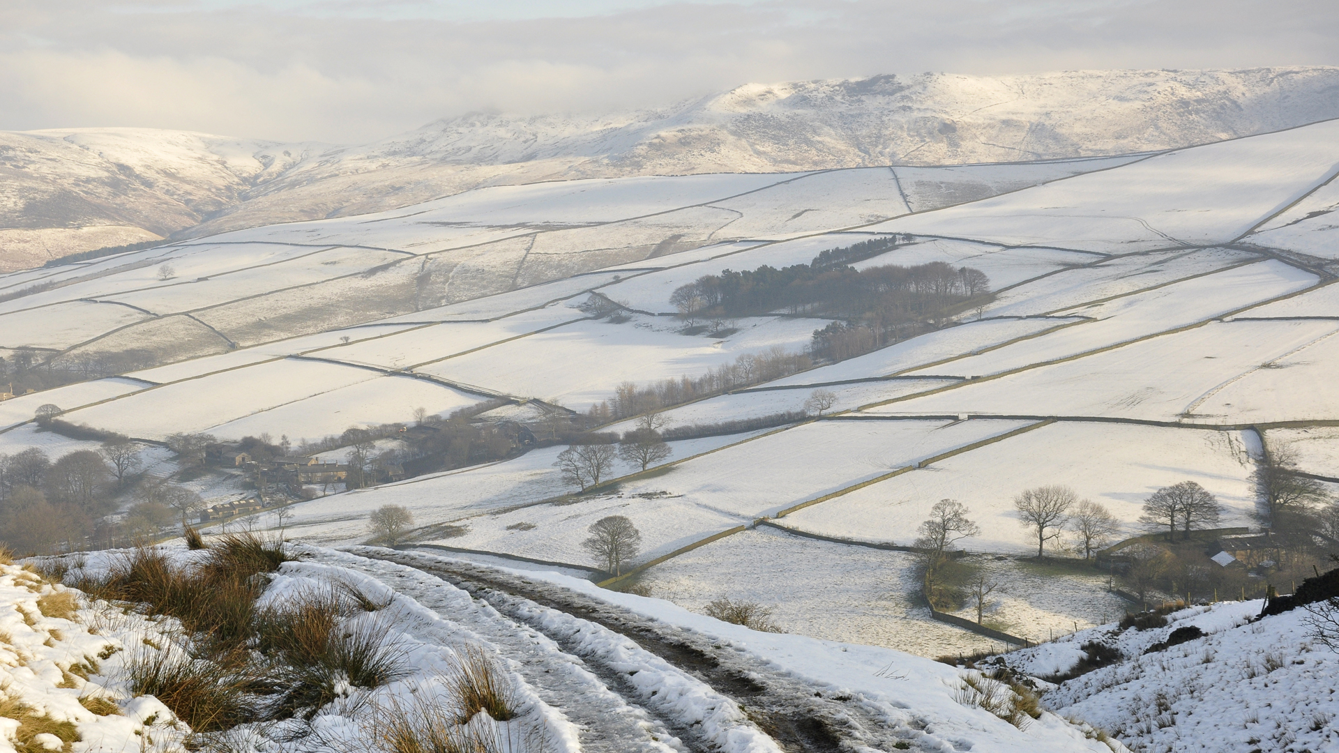
The height of a location above sea level is another highly influential factor on the likelihood of snow. In most cases, the higher up a hill or mountain you go, the colder it gets – roughly by 1C for each 100 metres.
This is why snow is always more likely over hills and mountains than lower down. What you may be surprised to know is by how much the chance of snow increases with altitude.

If there is a 20 per cent chance of snow at sea-level, this rises to 35 per cent at 100m, 60 per cent at 200m and around 75 per cent at 300m.
This shows how a journey that travels over hills can start off as a rainy one, but can easily turn into a snowy one with a relatively small increase in altitude.
Urban heat
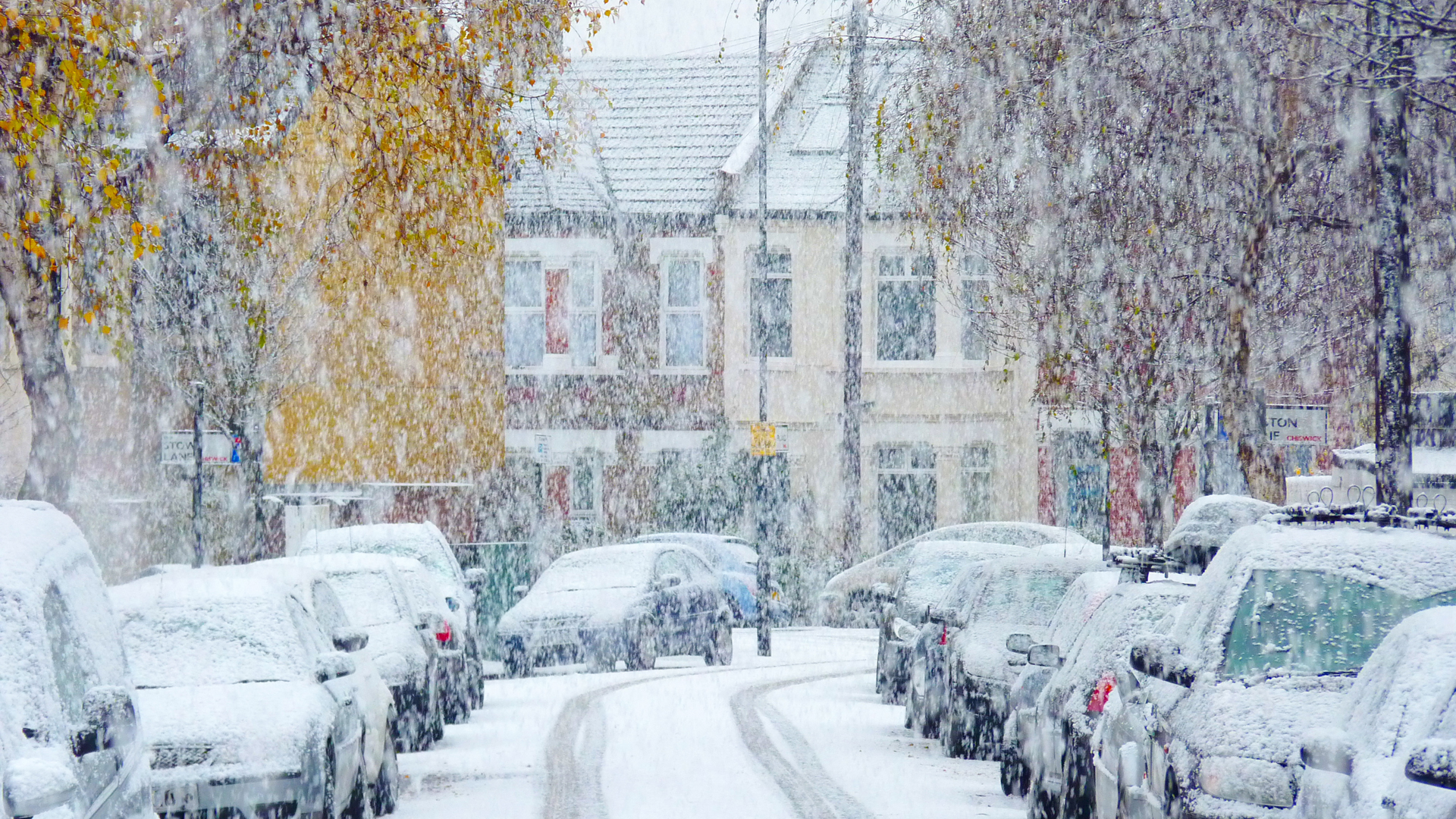
Urban areas are renowned for being slightly warmer than rural areas during winter, due to the large amount of heat generated by city life – buildings, industry and transport.
In some cases, this urban warmth can be enough to raise the temperature sufficiently to mean that sleet falls rather than snow.
However, to complicate things further, there can be temperature fluctuations within cities too.

As an example, once I left work after a night shift at BBC Television Centre in Shepherd’s Bush and it was raining outside.
By the time I had reached Ealing – just five miles further west into the suburbs, it was snowing heavily, with a covering of snow on the ground. I phoned work to let them know that it was snowing, and they said that it was still raining in Shepherds Bush!
Such differences in precipitation over a short distance are extremely hard for weather computer models to capture, adding to the uncertainty in snow forecasts.
Distance from the coast
The UK is an island surrounded by relatively warm water, which means that in winter, temperatures in coastal areas are kept slightly higher than further inland.
Again, with temperature being so crucial in determining what falls from the sky, it means that whilst snow falls inland, a zone of around 5-10 miles from the coast, will sometimes see rain or sleet instead.
Wind strength and precipitation intensity
As mentioned earlier, if rain falls for long enough, evaporative cooling can gradually lower the temperature, resulting in it turning to snow.
This process is most effective when winds are light, because colder air from aloft descends to the surface more readily, as the air isn’t being mixed up by the wind.
The intensity of the falling precipitation is also influential. Light rain is generally less likely to turn to snow than heavier rain in this way, because less moisture is available for evaporative cooling to take place.

All of the above show just how many factors need to be taken into consideration when forecasting snow. It can be a real challenge for both the weather computer models and human forecasters.
I’ve seen a weather computer model predict six inches of snow five days away for southern England, only six hours later to predict the same area to have nothing – showing just how finely balanced and volatile snow predictions can be.
So the next time you see a detailed UK snow prediction for more than three days ahead, take it with the biggest pinch of salt you can muster!
If you’ve got any questions about snow or winter weather, feel free to put them to me on Twitter – @liamdutton
